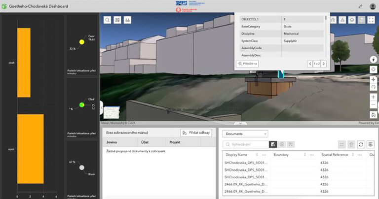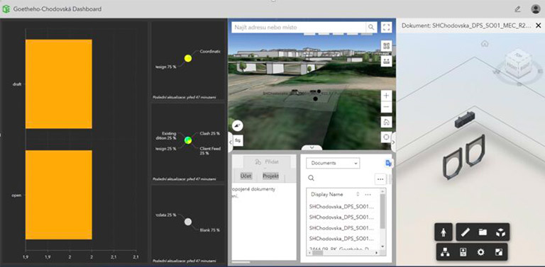
DTS and ArcData – pilot project connection BIM and GIS systems = ESRI GeoBIM
Yesterday, we presented a pilot GeoBIM project to the Prague Water Management Company. We prepared and put two underground wastewater chambers into the special scene and connected the BIM model (connection of CDE of Autodesk ACC) with GIS (ESRI GeoBIM).
GeoBIM proved a huge future potential of these two worlds of data.


